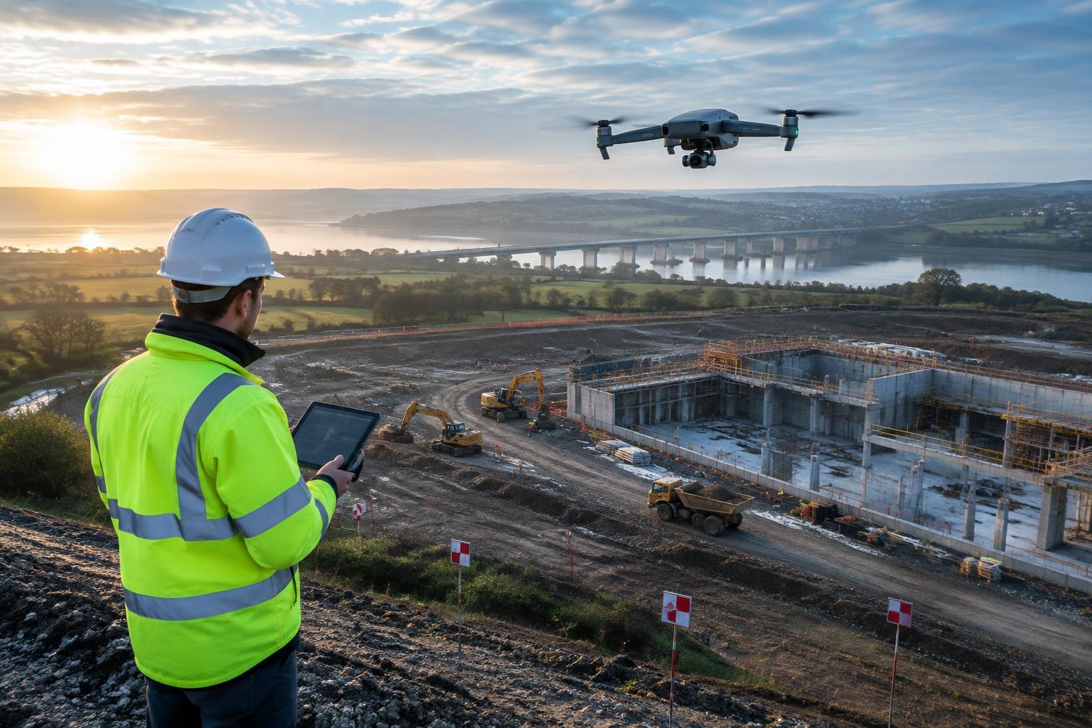
Aerial mapping solutions for construction combine planned drone capture, survey control and processing software to create current visual and spatial records of a site. Used correctly, they can support earthworks measurement, design coordination, construction monitoring and clearer communication between project teams.
The right approach depends on the property, project stage, required accuracy, access conditions and the decisions the data must support. A rapid visual update and a survey-grade deliverable are different tasks, even when both begin with an aerial flight.
What construction aerial mapping should deliver
Aerial mapping is most useful when it produces an agreed output rather than simply a collection of drone images. Depending on the brief, that output may be an orthomosaic, a geometrically corrected overhead image; a point cloud, a set of measured three-dimensional points; a surface model; or a repeatable record of construction progress.
For pre-construction and enabling works, aerial mapping drones for construction can help document existing conditions, access routes, stockpiles and changing ground profiles. During delivery, drone mapping for construction progress can provide consistent viewpoints for reviewing completed areas, identifying interface issues and comparing site status with the programme.
These products should complement, not casually replace, established survey methods. Where quantities, boundaries, levels or setting-out decisions have contractual or safety implications, the project team should define the required survey controls, checking process and responsible professional before capture begins.
From flight plan to usable site data
Capture planning and ground control
A mapping mission normally follows a grid or corridor over the area of interest, with image overlap that allows processing software to recognise common features between photographs. For facades, bridges, retaining walls or complex structures, oblique imagery may be needed alongside overhead capture.
Ground control points are clearly identifiable locations with known coordinates. They help tie a dataset to the project coordinate system. Independent check points can then be used to assess the processed model rather than merely fitting it to the same inputs. The coordinate reference system, vertical datum and handover format should be agreed with the survey and design teams in advance.
Processing, computer vision and review
Computer vision drone mapping technology uses algorithms to find matching image features and reconstruct geometry. This is commonly known as photogrammetry. It can create highly useful models, but output quality still depends on image sharpness, lighting, surface texture, control, camera calibration and appropriate processing settings.
Autonomous drone mapping software in the UK can automate route planning, image upload, processing and access to shared project data. Automation reduces repetitive steps; it does not remove the need for a competent person to review coverage, detect processing artefacts and confirm that the deliverable meets the agreed purpose.
Choosing the right workflow for the construction task
A practical procurement brief should make the required decision clear. For example, a weekly visual record may prioritise consistent viewpoints and reliable file sharing. An earthworks assessment may require defined survey control, a stated accuracy method and compatibility with the contractor’s measurement workflow. A bridge or asset inspection may require closer imagery, restricted access planning and careful consideration of GNSS reception.
- Define the output: specify whether the team needs imagery, a model, measurements, progress evidence or a combination.
- Set the reference: confirm drawings, coordinate system, datum and any control-point requirements.
- Plan for the site: account for live plant, cranes, overhead lines, restricted areas, people and changing access.
- Agree quality checks: establish who reviews coverage, control, model quality and file compatibility.
- Design the handover: identify the platforms and formats used by design, survey, planning and site teams.
Operational constraints in England and the wider UK
Organisations seeking aerial mapping services in England should assess each site individually. Construction environments can introduce obstacles, electromagnetic interference, dust, poor satellite visibility, uneven terrain and rapidly changing hazards. Weather and low light can also affect both flight planning and image quality.
UK drone operations remain subject to applicable Civil Aviation Authority requirements, landowner permissions and site-specific controls. Requirements may differ according to the aircraft, operation, airspace, proximity to uninvolved people and the nature of the location. Before commissioning work, confirm the current rules with the relevant official authority and integrate the activity into the project’s own safety, access and data-management arrangements.
Autonomous drones for land surveying can execute pre-planned routes and support repeatable capture, but commercial autonomy is generally bounded by operating procedures, geofencing or other controls, and human supervision. More advanced detect-and-avoid or fully independent decision-making concepts should not be assumed to be available or appropriate for a live construction site without a specific operational assessment.
Plan an aerial automation project
Well-defined aerial mapping starts with the construction decision that needs better evidence, then builds a capture and data workflow around it. StratoArc Dynamics can help organisations explore autonomous inspection drones, fleet software, computer-vision systems and custom flight development for suitable industrial aerial automation projects. Contact StratoArc Dynamics to discuss the site conditions, intended outputs and integration requirements.
Leave a Reply