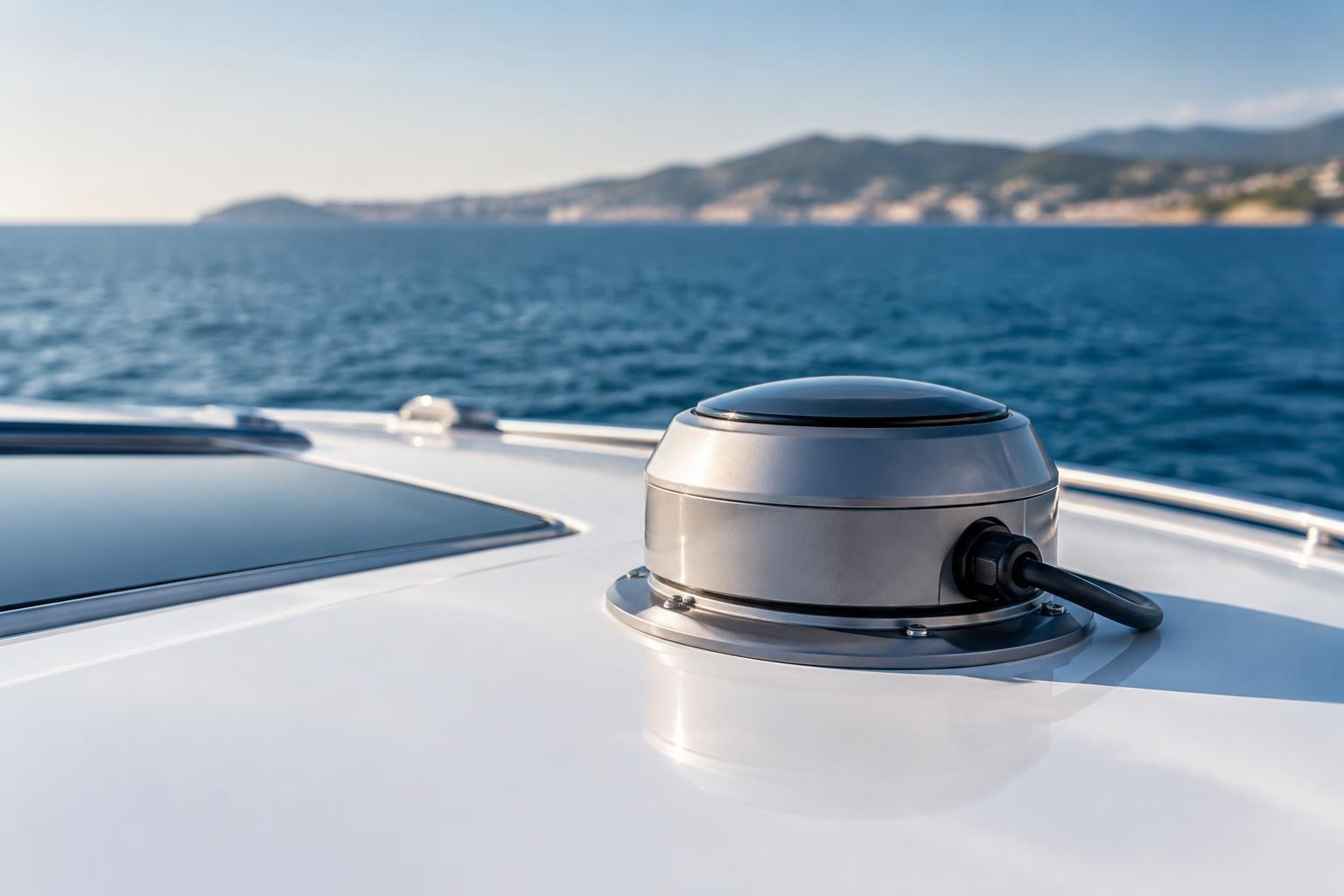
Smart navigation for electric yachts combines charting, positioning, vessel sensors and energy data so the helm can make decisions with a clearer view of the route and the available power. It is most valuable when it is specified as part of the yacht’s wider electrical and propulsion architecture, rather than as an isolated display upgrade.
For owners and project teams, the commercial question is not simply which screen to install. It is whether the navigation system can present dependable, understandable information for the yacht’s actual operating profile: marina manoeuvres, coastal passages, high-speed running, overnight use or a mix of these conditions.
What smart navigation adds to an electric yacht
Conventional marine navigation centres on position, charts, depth, course, speed and weather information. A smart system connects these inputs with further data from onboard equipment, making the helm more aware of both the environment and the vessel’s operating state.
On an electric yacht, the crucial addition is energy context. The system can draw on battery state of charge, temperature, power demand, charging status and propulsion settings, then present them alongside route and speed information. This does not turn a forecast into a guarantee: wind, current, sea state, hull fouling, payload, water temperature and manoeuvring time can all affect consumption. It does, however, give the operator a better basis for choosing a speed, route or charging stop.
The quality of this information depends on integration. A chart plotter cannot produce useful energy guidance if battery data is incomplete, delayed or calculated differently by separate equipment. Battery management systems, motor controllers, inverters and navigation electronics therefore need an agreed data architecture from the beginning of the project.
The core systems to specify
Position, heading and motion sensing
A global navigation satellite system receiver provides position and speed over ground. For precise course display, route tracking and automatic steering functions, it is commonly paired with a heading sensor or electronic compass. Motion sensors measure changes in roll, pitch and yaw, which is rotation about the vertical axis. Together, these inputs help stabilise heading data and improve the performance of compatible autopilot and radar functions, particularly when the sea state is less settled.
Sensor location matters. Magnetic interference, vibration, restricted sky view and the proximity of high-current propulsion cabling can compromise readings if equipment is poorly placed. Electric propulsion does not prevent reliable sensor operation, but it makes electromagnetic compatibility—the management of unwanted electrical interference—a design consideration that should be addressed in cable routing, grounding and equipment placement.
Charting, depth and situational awareness
Modern multifunction displays can consolidate charts, radar, automatic identification system data and depth information. The automatic identification system broadcasts vessel identity, position and movement details where fitted and operating; it is useful for awareness, but it does not detect every craft, floating object or hazard. Radar can add detection capability in reduced visibility, while depth sounders help the operator assess water beneath the hull.
These sources should be selected for the intended waters and operating conditions. Their limitations remain important. Electronic charts require current data, sensor measurements have tolerances, and no alarm or overlay replaces a proper visual watch, sound judgement or compliance with navigation rules applicable where the yacht operates.
Energy-aware route planning without false certainty
Energy-aware navigation should show how speed and route choices affect the battery reserve. At displacement speed, resistance rises differently than it does when a planing hull is moving rapidly across the surface. A hydrofoil yacht introduces another operating mode, because lift generated by the foils can reduce hull drag once foilborne, while the transition to and from that condition has its own energy demand.
The relevant output is therefore a live operating picture rather than a fixed range claim. A well-designed interface can show present power draw, battery condition, predicted arrival energy based on current assumptions and the impact of reducing speed. It should make uncertainty visible rather than conceal it behind a single optimistic distance figure.
Charging-point information may also support voyage planning, but availability, connector compatibility, berth access, shore-power capacity and local operating arrangements must be verified before departure. Navigation software should be treated as an aid to that verification, not proof that a charge will be available.
Automation, alarms and the human at the helm
Commercially available systems can provide waypoint steering, route monitoring, shallow-water alerts, boundary alerts and configurable machinery alarms. These functions can reduce routine workload, especially during longer passages, but they require careful commissioning. Alarm thresholds must match the yacht’s draught, handling characteristics, battery operating limits and owner preferences. Excessive alarms can cause alarm fatigue, while overly broad settings may not provide enough warning.
More advanced collision-detection and automated decision-support concepts continue to develop, but their capability varies widely by installation and operating environment. They should not be represented as autonomous navigation. A responsible design keeps the operator informed, able to intervene and aware of the data source behind a recommendation.
Specify integration before selecting the helm display
A productive procurement process begins with a route-and-use definition, then maps the sensors, control systems and displays needed to support it. The engineering brief should address battery data access, network protocols, redundancy for critical information, cybersecurity, software-update responsibility, cooling requirements for electronics and practical service access. It should also confirm how navigation equipment will coexist with high-voltage cables, charging hardware and propulsion controls.
For projects combining navigation with a new electric drive installation, a coordinated propulsion engineering scope can prevent late compromises in wiring, interfaces and helm usability. The right result is a coherent operating system, not a collection of premium components.
Plan the system around real voyages
Before committing to equipment, define the passages the yacht must complete, the charging opportunities that can realistically be used and the level of decision support expected at the helm. Aqualith Marine can help explore smart-navigation integration alongside electric propulsion, marine battery integration and yacht engineering requirements, with the system tailored to the vessel and its intended operation.
Leave a Reply